
News February 17, 2023
ASTERRA Featured In Lidar Magazine
Blogs February 16, 2023
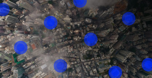
How ASTERRA Solutions Work Across Several Industries
Who Is ASTERRA? ASTERRA is a company dedicated to observation and discovery in protection of the Earth, its people, and...

Blogs February 9, 2023
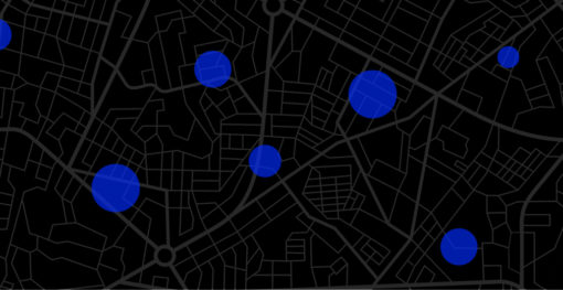
EO Discover: Environmental Metrics and ROI at Your Fingertips
When ASTERRA launched its EO Discover platform this month, the positive reviews began rolling in. For the first time ever,...
Blogs December 16, 2022
Geospatial Analytics and EarthWorks: How It Works and Why It Matters
What Is Geospatial Analytics? When we talk about geospatial data, we’re talking about Earth observation data mapped to a location...
Webinars December 14, 2022
Using Satellite Based Radar for Subsurface Soil Moisture Mapping to Protect Earthen Dams & Levees
Join ASTERRA as we explore our EarthWorks product for dams and levee applications. Using our patented algorithm to derive soil...

Blogs November 21, 2022
SAR Sensor, Remote Sensing, and ASTERRA: Advancing Geospatial Solutions with Synthetic Aperture Radar
What Is Synthetic Aperture Radar? Synthetic aperture radar (SAR) is an “active” form of data collection, meaning that energy (a...
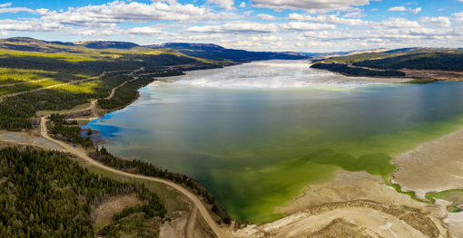
Blogs November 18, 2022
Levee vs Dam Technology: What are the Differences?
Levee vs Dam Technology Dams and levees each play a major role in making vast areas of the country habitable...

Press November 8, 2022
ASTERRA and Tomorrow.io Team to Prevent Infrastructure Failures Worsened by Climate Change
Monitoring weather impact over vast areas provides data-driven insights that will help prevent catastrophic disasters Tel Aviv, Israel, November 8,...

Press October 18, 2022
Assembly Member Christopher Ward Visits ASTERRA
Assembly Member Christopher Ward visits ASTERRA to support their efforts in sustainable water and infrastructure monitoring programs San Diego, October...