Let’s face it— infrastructure assets don’t last forever. Over time, wear and tear from soil moisture fluctuations leads to erosion, seepage, and eventual structural damage. That’s where EarthWorks comes in, offering the industry’s first ever satellite-based solution for detecting subsurface soil moisture risks using L-band SAR satellite technology.
EarthWorks uses satellite soil moisture monitoring to help you proactively manage risk, extend asset lifespan, and avoid costly repairs. Our technology delivers pinpoint accuracy, allowing you to track soil moisture across vast areas without relying on guesswork.
Whether you’re overseeing dam safety, road maintenance, or other earthworks assets, EarthWorks provides the critical insights needed to make smarter decisions and keep your operations running smoothly.

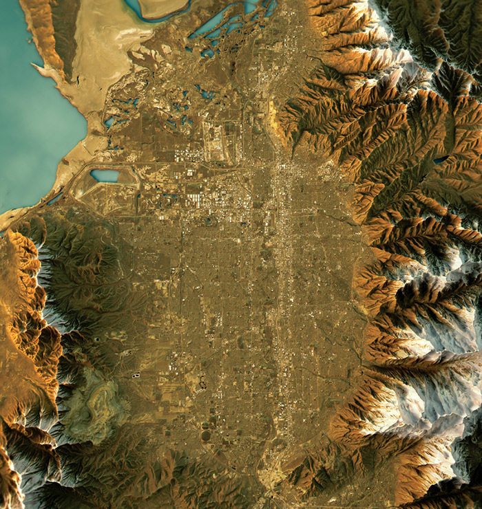
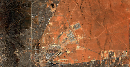
EarthWorks is the first satellite soil moisture monitoring solution designed to empower better decision-making for infrastructure resilience. It equips engineers and managers with data-driven insights to identify and mitigate soil moisture risks. Capable of assessing up to 64 km (40 linear miles) and 3,600 sq km (1,400 square miles), EarthWorks significantly boosts resource allocation efficiency in infrastructure maintenance. Operating from 390 miles above the Earth, its satellite-based technology utilizes synthetic aperture radar (SAR) to detect soil moisture up to 10 feet (3m) below the surface. By tracking changes over time, EarthWorks helps extend the lifespan of infrastructure.
ASTERRA EarthWorks helps customers meet the United Nations’ Sustainable Development Goals 9 and 13, for resilient infrastructure, innovation, and combating climate change.
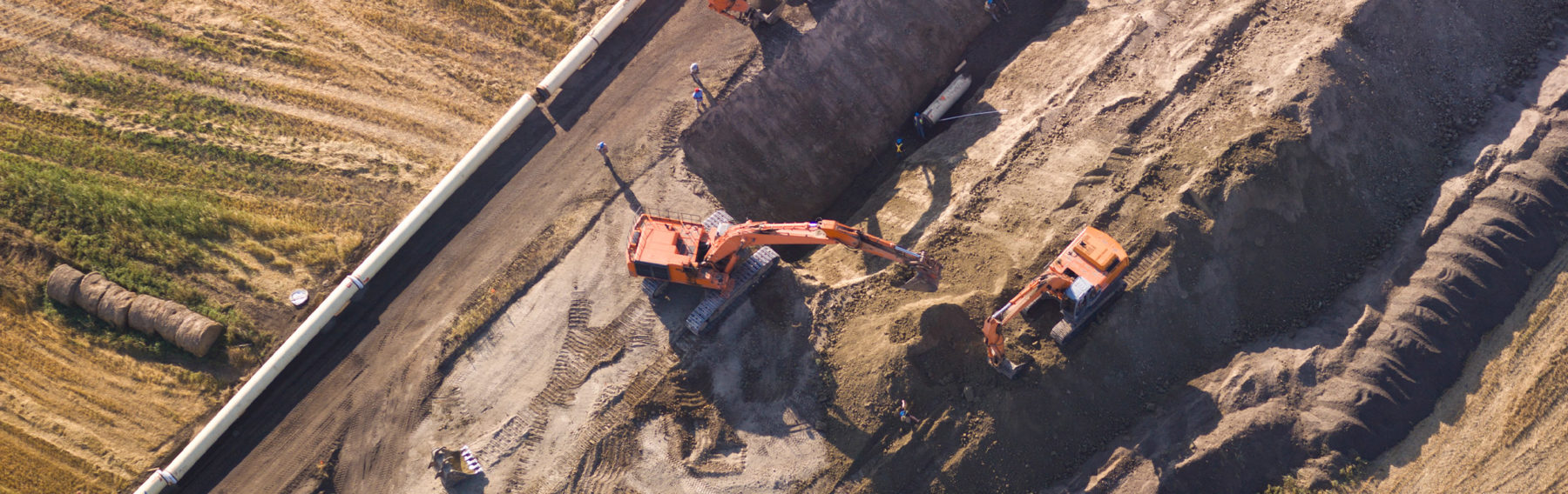
The technology behind EarthWorks marks the biggest innovation in soil moisture detection in more than 80 years. By mapping excess soil moisture near or under dams, levees, roads, railways, and mining operations from space, EarthWorks help can help prevent structural failure in the near term and provide data for building in long-term resilience.
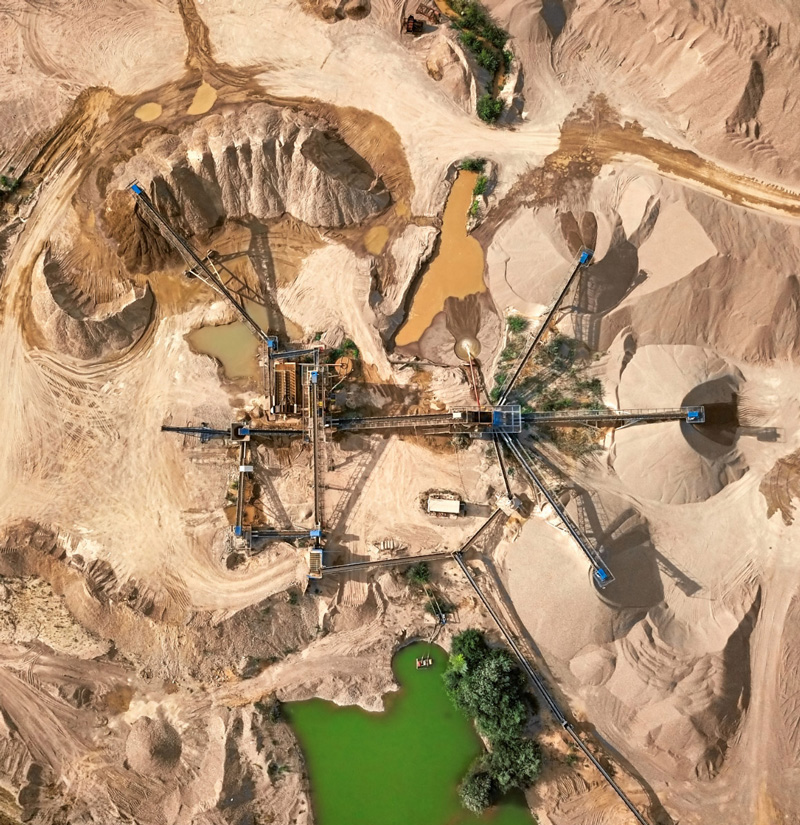
EarthWorks helps cities and communities located in regions prone to landslides and geological hazards or near mining facilities or dams and levees. By providing early warning and risk assessment based on underground soil moisture data, EarthWorks contributes to ensuring the safety of local populations.
Many of the dams and levees that manage water and prevent flooding are over 50 years old, some much older, while the number of people living in their flood hazard zones has grown to the millions. As extreme weather events caused by climate change put additional stress on these structures, EarthWorks can show managers where moisture-related vulnerabilities create risks so that lives and property can be protected.

EarthWorks offers a proactive approach to infrastructure management by monitoring subsurface soil moisture across diverse installations. Using satellite-based technology and...
Tel Aviv, Israel June 30, 2022 Today ASTERRA released an expansion to its EarthWorks product line that paves the way...
Determination of Soil Moisture from Space and its Application in the Assessment of Linear Geotechnical Infrastructure The EarthWorks product provides...
The experiment demonstrated that ASTERRA EarthWorks, which provides soil moisture mapping to identify at-risk infrastructure, does indeed provide a useful...