Blogs
Geospatial Analytics and EarthWorks: How It Works and Why It Matters
December 16, 2022

When we talk about geospatial data, we’re talking about Earth observation data mapped to a location on the globe. Geospatial data can describe weather, populations, topography, geologic events, agriculture, wildlife, forests, or any number of objects or occurrences.
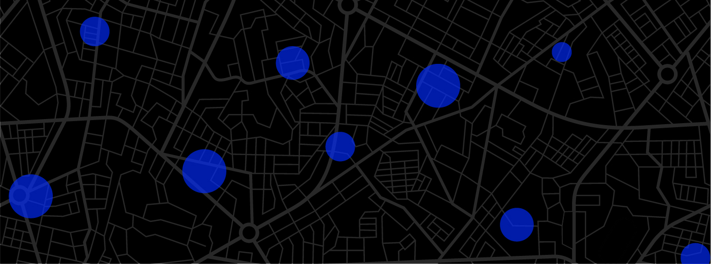
In geospatial analytics, the data is processed through algorithms to create meaningful insights that are displayed as graphs, maps, or other visual forms and help people see context, direction, trends, and relationships.
With geospatial analytics, patterns can be discerned and insights gleaned that may be hard to see in a conventional presentation of the same data. Geospatial analytics can be used to predict the impact of hurricanes and then assess the actual damage. We can apply geospatial analytics to census data to study population centers and migration trends. And to wildlife populations to learn their habits, habitats, and migration patterns, as well.
Infrastructure assessment is another valuable use of geospatial analytics. For example, visualizations of areas where soil moisture may predict or even cause the failure of critical infrastructure such as dams or levees. These insights can be used to mitigate problems and prevent loss of life.
These are just a few uses for geospatial analytics.
Most of the structures we see around us are built into or on top of soil. Roads, skyscrapers, railways, telephone poles, stadiums, airports, homes, and schools are just a few examples. Some structures that are built into or on top of soil are also built of soil, using soil as a construction material. Built of earthen materials, these structures are categorized as earthworks and include many dams and levees.
Naturally, people want all these structures erected on solid ground. Knowing the characteristics of the soil that supports them is critical to their stability, longevity, and safety. That’s one of the primary uses of geotechnical soil testing: to give engineers, builders, safety inspectors, and all decision-makers the data they need to ensure the structures and their occupants are safe.
Geotechnical soil testing methods include:
Geotechnical soil testing looks at a number of characteristics. Among them:
For soil moisture testing, recent advances in remote sensing by ASTERRA have added a new method that’s non-invasive (no holes in the ground) and does not require a laboratory. Using satellite-based synthetic aperture radar, ASTERRA EarthWorks can locate subsurface soil moisture over vast areas. It can even determine its source, characteristics, and any threats it may pose to nearby structures – such as the earthen dams and levees previously mentioned.
Geospatial data solutions for earthen dams and levees present a particular challenge. Several, in fact.
Traditional methods of gathering geospatial data on soil moisture are time and labor-intensive, requiring field crews, equipment, digging holes, and taking and transporting samples back to labs. In addition, the testing is conducted in a specific place at a specific time and can only reveal what’s happening right there and right then.
Meanwhile, there are 30,000 miles of mostly earthen levees in the National Levee Database (and another 10,000 not included). There are approximately 73,000 earthen dams, some of which are miles in length or circumference. Many of these dams and levees are four, five, six, or more decades old. There are not enough crews, labs – or, frankly – time to monitor the soil moisture around these structures, in whose flood zones millions of people live and work.
ASTERRA EarthWorks is the first and only global monitoring solution that can assess soil moisture around the worldwide inventory of earthen dams and levees in any practical, affordable, and doable way.
Using artificial intelligence and a series of patented algorithms to perform a geotechnical analysis of the satellite data, EarthWorks creates soil moisture content maps indicating where soil moisture is high or low. Repeated passes of the satellite will reveal changes in soil moisture content over time that can indicate problems ahead.
Because EarthWorks is satellite-based, it can survey huge areas at once, entire levee systems, and revisit the same area every 10 – 14 days. In the challenge of gathering geotechnical data on soil moisture around large infrastructures like dams and levees — repeatedly, over extended periods — EarthWorks is the only practical method available.
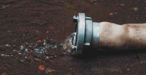
Municipal water systems across the globe face an invisible crisis that drains billions from public coffers annually. Water losses from...
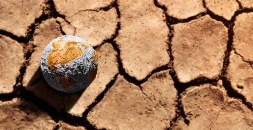
Water security represents one of the most pressing challenges of the 21st century, with global water demand projected to increase...
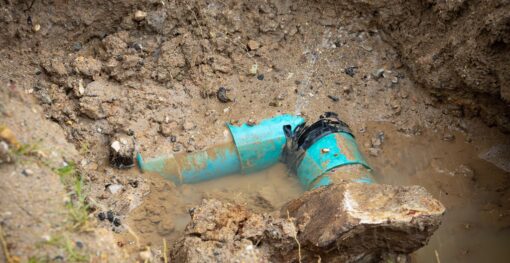
Urban infrastructure systems are the backbone of modern society, enabling clean water distribution, waste removal, and the overall health and...