Blogs March 6, 2025
From Dashboard to Workspace: Embracing the Future of Water Utility Management with EO Discover 2.0
In the ever-evolving world of water utility management, innovation is not just a buzzword, it’s a necessity. A short month...
Press January 27, 2025
Transforming smart water asset management: ASTERRA unveils game-changing EO Discover 2.0 upgrade Platform enhancements create a dynamic workspace with customized, actionable insights for water and infrastructure management
San Diego, January 28, 2025 – ASTERRA announced the launch of EO Discover 2.0, a major upgrade to its SaaS...

Webinars January 14, 2025
EO Discover 2.0 Launch

Blogs December 12, 2024
SAR imagery preprocessing for Vision Transformers
Author: Rita Zaslavsky What is SAR (Synthetic Aperture Radar)? Synthetic Aperture Radar (SAR) is an advanced remote sensing radar system...
Blogs September 19, 2024
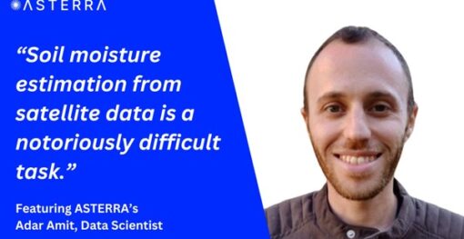
Analyzing Soil Moisture Risks from Space Through Large Datasets: A Comprehensive Guide
Introduction In the realm of machine learning, handling large datasets is a common yet challenging task. My passion for data...
Videos July 22, 2024
Satellites and Soil Moisture: Advances in Asset Resilience in the Face of Climate Change
Mark Hinton, UK Director and Jonathan Lynch, Ground Engineering Lead at ASTERRA, were interviewed by the PWI. They discussed how...

Videos July 8, 2024
World Geospatial Industry Council Interviews Lauren Guy, Co- Founder and CTO of ASTERRA
In this interview they discusses how ASTERRA's SAR-centric approach enables the detection of underground water leakages, significantly reducing energy wastage...

Blogs July 2, 2024
What Does Climate Change Adaptation Mean to Me?
I recently attended a climate adaptation workshop focused on Civil Infrastructure in the UK. One question really stood out: "What...

Videos June 5, 2024
MapScaping interviews CTO and Co-Founder at ASTERRA, Lauren Guy
Why You Should Care About L Band In this episode, MapScaping welcomes back Lauren Guy, CEO and founder of Asterra,...
