Blogs
Revolutionizing Infrastructure Monitoring: How SAR Imagery Uncovers Hidden Moisture Risks
February 23, 2025


Ground moisture assessment is the process of measuring and analyzing soil water content to understand its impact on infrastructure and environmental stability. This assessment is critical for ensuring the structural integrity of roads, bridges, dams, and levees. It is also widely used in flood risk management and urban planning.
Excess moisture or sudden changes in soil water levels can lead to severe consequences such as:
Traditionally, ground moisture assessment has been conducted using ground-based sensors, borehole measurements, and manual field surveys. However, these methods can be labor-intensive, time-consuming, and limited in scope. Today, advanced remote sensing technologies such as L-Band Synthetic Aperture Radar (SAR) provide a more efficient and comprehensive approach to ground moisture monitoring.
SAR is an active remote sensing technology that emits microwave signals toward the Earth’s surface and records the reflected signals to generate high-resolution images. Unlike optical sensors, SAR can penetrate cloud cover, vegetation, and even certain ground layers, making it ideal for all-weather, 24/7 monitoring.
L-band SAR, which operates at frequencies between 1-2 GHz, offers deeper ground penetration than higher-frequency bands, enabling more accurate detection of subsurface moisture variations. This capability makes it invaluable for monitoring underground infrastructure, identifying leaks, and assessing environmental risks.
ASTERRA has pioneered the use of SAR-based solutions for infrastructure monitoring, underground utility mapping, and environmental risk assessment. Their key solutions include:
ASTERRA’s SAR-based solutions have been successfully implemented across various sectors:
Utilizing SAR imagery for ground moisture assessment offers several benefits:
Beyond infrastructure maintenance, SAR-based ground moisture assessment plays a vital role in environmental risk assessment such as landslide prediction: monitoring soil moisture variations can identify slopes at risk of landslides, enabling preventive measures to protect communities and assets.
The integration of SAR-based ground moisture assessment into infrastructure monitoring and environmental risk management is transforming the way industries detect and mitigate moisture-related challenges. ASTERRA’s solutions demonstrate the power of L-band SAR technology in providing actionable insights that enhance resilience, safety, and efficiency. As climate change and urbanization continue to strain infrastructure systems worldwide, adopting innovative SAR-based solutions will be key to ensuring long-term stability and sustainability.
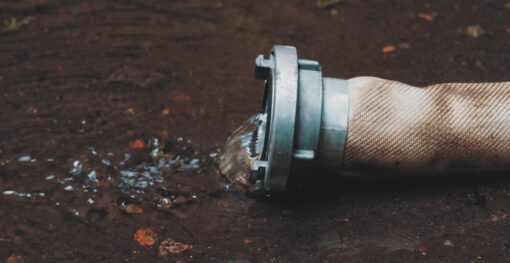
Municipal water systems across the globe face an invisible crisis that drains billions from public coffers annually. Water losses from...
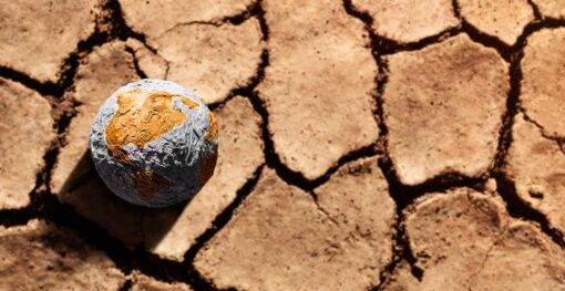
Water security represents one of the most pressing challenges of the 21st century, with global water demand projected to increase...
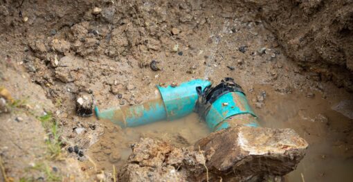
Urban infrastructure systems are the backbone of modern society, enabling clean water distribution, waste removal, and the overall health and...