

EO Discover 2.0 simplifies your infrastructure monitoring and management with satellite-powered insights—helping you make smarter decisions to reduce NRW, secure water cost savings, and improve operational performance.

Toggle map layers, apply advanced filters, and manage field results directly through EO Discover’s interactive workspace. Its user-friendly design aligns field crews, managers, and executives, enabling data-driven decisions that prevent costly issues before they escalate.

Get a clear view of your asset’s performance with metrics that matter. Track KPIs, prove ROI, and demonstrate impact. Centralized insights empower you to drive cost efficiency, enhance reliability, and keep assets performing longer.

EO Discover can be adapted to your organization’s unique data, setting benchmarks and values that ensure accuracy and lay the foundation for data-driven decisions.


Satellite Data
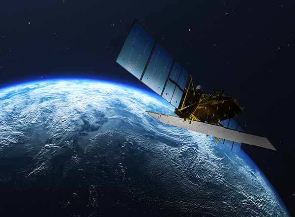
ASTERRA images your system using polarimetric synthetic aperture radar (PolSAR) to sense and evaluate soil moisture in close proximity. The data is processed through our patented algorithms and delivered directly to your EO Discover dashboard.


Field Data
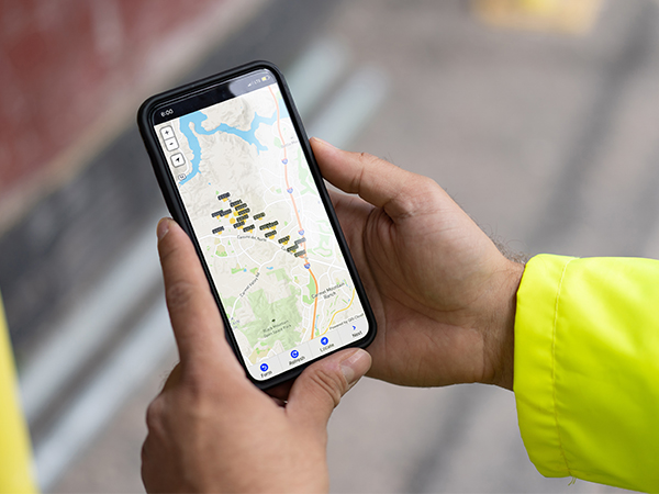
Crews in the field use ASTERRA’s U-Collect or Esri ArcGIS Field Maps app to log investigation results, leak location, and other data. Within five minutes, their reporting is available in EO Discover.

232,100,000
Gallons of water saved/year
186
Total leaks found
2.9 million
Gallons saved per crew day
141
Non-surfacing leaks found
$696,000
Water cost savings/year
1.6
Leaks found per mile