
)
Data
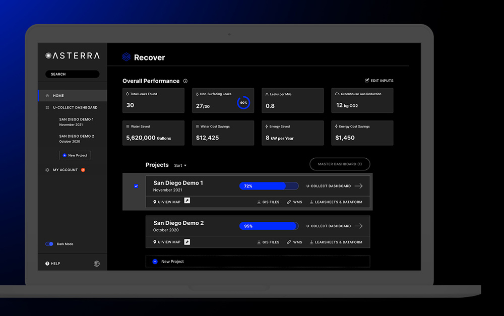
Data derived from satellites is accessible in EO Discover as soon as it becomes available.


Satellite Data
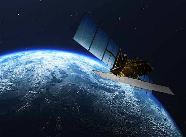
ASTERRA images your system using polarimetric synthetic aperture radar (PolSAR) to sense and evaluate soil moisture in close proximity. The data is processed through our patented algorithms and delivered directly to your EO Discover dashboard.


Field Data
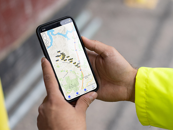
Crews in the field use ASTERRA’s U-Collect or Esri ArcGIS Field Maps app to log investigation results, leak location, and other data. Within five minutes, their reporting is available in EO Discover.

232,100,000
Gallons of water saved/year
186
Total leaks found
2.9 million
Gallons saved per crew day
141
Non-surfacing leaks found
$696,000
Water cost savings/year
1.6
Leaks found per mile