Blogs
Netherlands Dikes and Levees: Effective Flood Defenses
August 2, 2022


The Netherlands has 17,691 kilometers of flood defenses and dikes, according to the Dutch Unie van Waterschappen. Drought is one of the pressing water problems in The Netherlands, next to high levels of water. Drought and high water levels impact the function of dikes, one of the country’s critical infrastructures. To ensure that these dikes can withstand the consequences of climate change, they are all tested once every two years. According to the Unie van Waterschappen, this action is sorely needed. Research and proactive measures are also taking place to better monitor the infrastructure of canal levees and dikes.
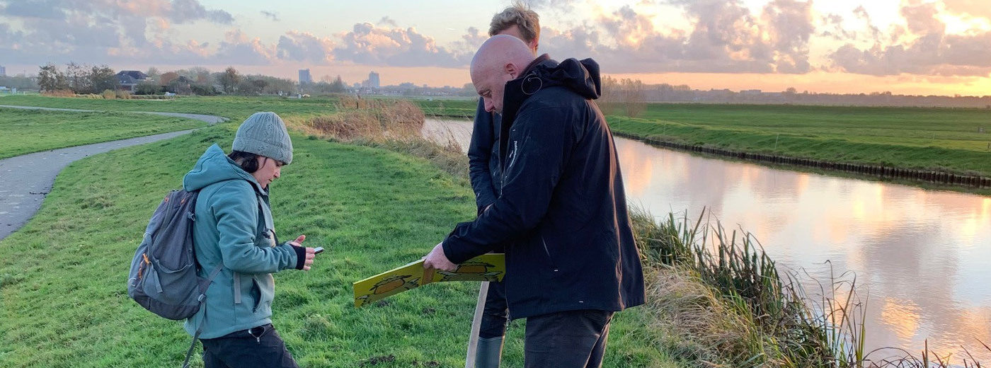
Last November, Delft University of Technology (TU Delft), the Foundation for Applied Water Management Research (STOWA), and ASTERRA began a project that will test ASTERRA EarthWorks PolSAR Data, or polarimetric synthetic aperture radar, carried on a wavelength that can provide subsurface data on soil characteristics to inspect canal levees and flood defenses. This began with the goal to identify the best possible combination of processes to monitor Netherlands dikes from the impact of drought. ASTERRA was given the opportunity to demonstrate the possibilities of determining the drought by satellite measurements, focused on ten locations currently under research by STOWA and TU Delft.
Dry periods cause dikes to dry out, which leads to a reduction of stability. Constructed from multiple types of natural resources, including peat, clay and sand, these flood defenses and levees all require water to maintain their structure. This is especially true of peat dikes. Sea levels are rising, peaty surfaces are declining (so-called ‘bodemdaling’), and while there is much water in the region — including rivers and the North Sea — these waters do not serve to maintain the stability of the infrastructure.
The Netherlands has unique geography. Between 33% and 60% of the entire country is located below sea level (percentage varies by location), and The Netherlands depends on its dikes and levees for flood protection. At the time this was written, the city of Rotterdam is about 90% below sea level. Flood control in the Netherlands is a perpetual challenge.
The people in The Netherlands have a long history with the forces of water. “The Netherlands exists because of battling water,” said Egon Donia Nota, The Netherlands-based European business development and sales manager for ASTERRA. “This also creates one of the best export products the Dutch provide, knowledge and engineering around water in its full spectrum. This is key in Dutch society because our lives depend on it.”
In the seventh century, early construction of dikes occurred to protect against the North Sea. Around the year 1000, in the river area of The Netherlands, a start was made to control the course of rivers, and dikes were constructed by the 11th and 12th centuries. By the 17th century, canals were built.
The geography is complicated by the dense population within a small urban area. Approximately 60% of the population is in flood-prone areas. Four of the largest cities in The Netherlands; Amsterdam, The Hague, Rotterdam, and Utrecht are in an area collectively known as “de Randstad.” It is a highly dense area with over 8.3 million people. Most businesses are located where people live, such as in the Randstad conurbation and other major cities. This region has two critical ports: the Port of Rotterdam, which is commonly known as the busiest port outside of Asia, and Schiphol, the airport of Amsterdam, which is one of Europe’s busiest airports.
Active monitoring of the canal levees and flood defenses is required. If a period of drought is recognized, the process is to send people on the dikes to look for cracks and other evidence of instability. ASTERRA (with the help of with STOWA and TU Delft) can identify and construct an “early warning” system based on several indicators. this can guide staff on where to look for dry spots and potential instability.
This led to the option for ASTERRA to showcase and perform field trials with STOWA and TU Delft.
Using the ASTERRA Earthworks satellite-based subsurface moisture mapping platform provides a potential insight that can assist in the efficiency and effectiveness of these monitoring activities.
ASTERRA EarthWorks delivers data and provides actionable intelligence which will support the informed allocation of staff to vulnerable parts of dikes for potential maintenance and repair. Together, TU Delft, STOWA, and ASTERRA have executed field tests and TDR measurements.