Brochure

Learn How EarthWorks Monitors Critical Infrastructure

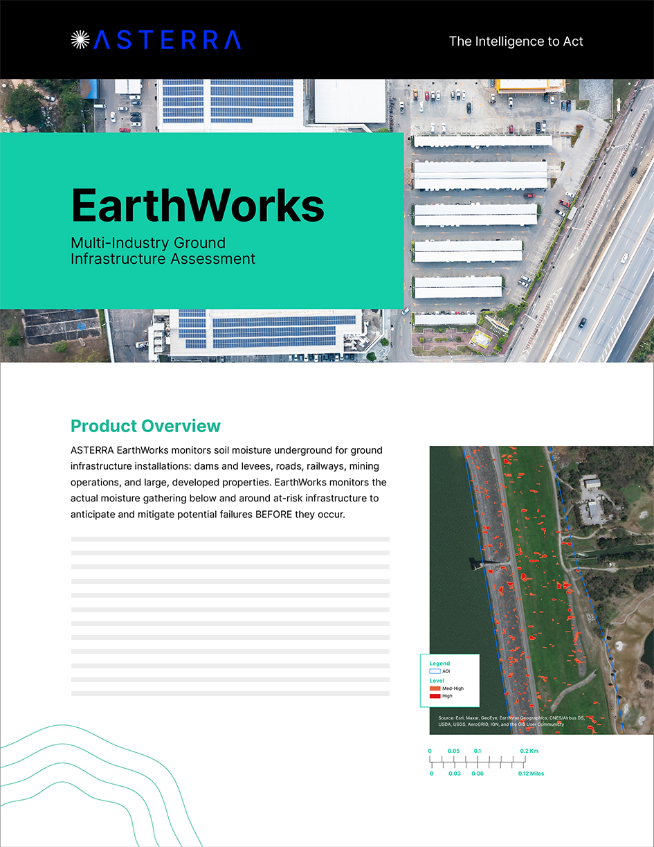
Learn how remote infrastructure monitoring by ASTERRA EarthWorks uses PolSAR data and algorithmic analysis to help you establish infrastructure maintenance priorities by incorporating soil moisture content into your data set. EarthWorks is a highly efficient infrastructure monitoring tool for dam and levee monitoring. Road and rail monitoring helps keep traffic and rail operations moving. Mine operators can use EarthWorks to safeguard people, equipment, and mining operations, and monitor tailings dams. Large commercial properties can use ongoing infrastructure monitoring for proactive asphalt repair on roadways and parking areas prior to severe damage, for example.

Download the EarthWorks brochure. We serve these industries:

  • Dams and Levees
  • Roads
  • Rail
  • Mining
  • Property

Download

Industry Recognition for ASTERRA

Additional Resources

Mapping Soil Moisture Content Using L-Band Synthetic Aperture Radar
White Papers June 30, 2022

Mapping Soil Moisture Content Using L-Band Synthetic Aperture Radar

Mapping Soil Moisture Content with L-Band Radar The experiment demonstrated that ASTERRA EarthWorks, which provides soil moisture mapping to identify...

Determination of Soil Moisture and its Application
Case Studies June 30, 2022

Determination of Soil Moisture and its Application

Determination of Soil Moisture from Space and its Application in the Assessment of Linear Geotechnical Infrastructure The EarthWorks product provides...

Press June 30, 2022

ASTERRA Expands EarthWorks to Monitor Critical Infrastructure

Tel Aviv, Israel June 30, 2022  Today ASTERRA released an expansion to its EarthWorks product line that paves the way...

Please contact us to learn more about ASTERRA’s solutions.

  • This site is protected by reCAPTCHA and the Google Privacy Policy and Terms of Service apply.
  • This field is for validation purposes and should be left unchanged.